ABOUT

GlobeVISIONS

GlobeVISIONS is a leading Drone Service Provider (DSP) and Data Solutions operating in West Africa and in USA. Our footprint presence in Africa is in Ivory Coast and in USA, Minnesota.

GlobeVISIONS is the leading DSP company in Assets Visual Inspections and Data Process using GlobeVUESTM. Our Cloud Software Platform and AI engine booster bring new opportunities to customers and partners to:

  • Audit their infrastructures,
  • Add value to their core business and obtain innovative Solutions to monitor their assets
  • Efficiently carry out preventive and curative maintenances.

We specialized in Assets Visual Inspection by means of last generation of UAV (Unmanned Aerial Vehicles) called Drones to capture data on assets for providing 360° High Resolution Images, Thermal Imagery, 2D & 3D Modeling and LiDAR imagery, Photogrammetry, Topography and more for customers in Telecommunication, Renewable Energy, Asset & Power line inspection, Infrastructure, Real Estate, Oil & Gas and other industries and sectors.

GlobeVISIONS DRONE PILOTS

GlobeVISIONS’ professional Remote Pilots in Command (RPIC) are certified by National Civil Aviation Authorities to operate and perform aerial missions throughout the Economic Community of West African States (ECOWAS) with deep conscientiousness to meet international administrations rules and requirements to guarantee quality businesses operations that complied with health and security environment.

They are all highly trained and qualified to perform high detailed asset aerial inspections by providing safer, more cost-effective, and timely outcome in Construction, Engineering, Transportation, Mining, in all industries and sectors.

Work Process

  • 01

    CONCEPTION

    Meetings with Clients

  • 02

    PLANNING

    Project proposal and organisation

  • 03

    EXECUTION

    Flying drone & Images captured

  • 04

    REVIEW

    Client’s Data files transfered & monitored
    with GlobeVUESTM

Services Provided

SERVICES

GlobeVISIONS uses the best SaaS Software Solutions of the market, GlobeVUESTM to digitize, monitor your assets, analyze them through AI Data Processing to enable you:

  • Visualize
  • Measure
  • Collect accurate Audits Reports on multiple models

And by secured access on our web portal, you can at single click on screen explore, export everywhere, at any time those metadata hosted on GlobeVUESTM, per programmed authorization rights by your assigned administrators.

With Our turn-key solution we handle the entire process for you:

  • Drones piloting, completed under regulations and rules compliance,
  • Images Capture and Data analyzing by AI through GlobeVUESTM powerful Drone Data Processing Software & Data Cloud Hosting on platform,
  • Extracting insights from that data
  • Delivering measurable and actionable insights to support decisions making.
Benefits

BENEFIT USING GlobeVUESTM

  • Virtually inspect infrastructures, assets, Greenfield sites, upgrade works or co-location sites
  • Remotely Complete conditions audits
  • Complete Site Feasibility Inspections Without Travelling to Site
  • Remotely Verify Work Quality and Sites Acceptance Audits
  • Keep people Safe and OFF the towers, dangerous and inaccessible areas, to reduce Workplace Health and Safety (WHS), and Health, Safety and Environment (HSE) risks
SEO

INDUSTRIES

Understanding the current challenges and visions of customers and their competitive ecosystems we commit ourselves to provide the latest innovations in AI Digital Twin Platform to support and empower customers and partners to lead in their industry.

Our end-to-end drone solutions bring add-value and strong support to various industries:

  • Telecommunication
  • Asset and Power Line Inspection
  • Renewable Energy
  • Architecture Engineering & Construction
  • Insurance Inspections
  • Real Estate
  • Oil & Gas
  • Transportation & Railway
  • Multimedia & Marketing
  • Infrastructure & Utilities
  • Precision Agriculture
  • Other Industries and Sectors

Telecommunication

Apply artificial intelligence to drone captured data enabling infrastructure owners to make informed decisions, reduce operational costs & improve safety.
Our end-to-end solution covers everything from flight planning to the application of analytics for accurate and timely decision making

Asset and Power Line Inspection

Transmission and distribution of power lines. Energy transmission and distribution professionals have some of the most widely distributed and remote assets to build, maintain and repair. Implementing current practices, maintaining accurate and up-to-date information about each asset they manage, is time-consuming, labor-consuming and expensive.

Renewable Energy

Among other sources of non-fossil energy, solar and wind energy, extend over large areas or at dizzying heights. Preventive and curative maintenance is already based on the speed of inspection of infrastructure and equipment. Thermal imaging provided by drone, high-resolution images, 2D 3D modeling, and data analysis actively contribute to the profitability of huge investments.

Architecture Engineering & Construction

Surveys and mapping completed by drone, are tremendously changing game in the AEC industry. Architects, engineers, and constructions companies have been persuaded using drone and related applications in monitoring, measuring, and evaluating processes of all kinds of projects they are taking part. Through digital assets Projects Management Teams are now able to easily interact on projects, from planning to execution, and be sure asset are delivered to meet customers and stakeholders’ requirement.

Insurance Inspections

The perfect knowledge of the assets covered by insurance companies, becomes easy thanks to the use of hundreds of High-Resolution images and data provided by drones. The exploitation and analysis of these data prevents huge conflicts between customers and insurers in the event of claims. Decision making is accurate because of easier analysis based on geo-referenced data location.

Real Estate

Residential and commercial properties are increasingly exposed to customer admiration, due to the characteristics of the assets brought by drone technology and thanks to the perspectives of attractive views in videos and photos. Enter now advanced virtual tours, amazing 360-degree panorama, and splendid photographs produced by drones.

Oil & Gas

Oil and gas culture encompasses in its daily life a whole set of extensive inspections, investigations, monitoring and research, hence the importance of meticulous surveys, investigations and exploration. The appearance and introduction of several modern and contemporary techniques contributed to the development of the industry. Among so many advantages, drones pave the way for improved aerial image quality, shortened production downtime, accurately measured multi-angle shots, through video, thermal photography

Transportation & Railway

Through aerial surveys Data like orthophoto, elevation models, terrain models, 3D Models, thermographic data, and more, Railways and Roadways agencies in projects and assets management can be efficient with high accuracy data from drone solutions.

Multimedia & Marketing

Multimedia and marketing specialists are embracing the provision of high-resolution video and photos at a lower cost by always improving the quality of their productions. You can now avoid expensive equipment such as cranes, helicopters and zip lines for your aerial videos and photos.

Infrastructure & Utilities

The use of drones for infrastructure and utilities’ inspections ensures safe and efficient inspection of hard-to-reach assets. In addition, these recurring infrastructure assessments, thanks to data analysis provided by UAV (Unmanned Aircraft Vehicles), contribute improving their longevity and proper functioning, minimizing maintenance costs and enhance decisions making.

Precision Agriculture

Aerial thermal images have become an important tool for modern farm management. Monitor crops, detect plant health, predict irrigation and fertilizer needs, evaluate crop peaks, rely on accurate data for better business decision-making

Other Industries and Sectors

Due to its speed and accuracy of execution in aerial data collection, as well as the exploitation of these data, the drone is today the ideal tool to add value for any sector and industries. Its wide field of operation gives our communities the opportunity to increase the ever-continuous search of customers for quality products and services.

Let's Get In Touch

Contact GlobeVISIONS

IVORY COAST
GlobeVISIONS SARL

Abidjan Cocody, 8ème Tranche, Rue L84,Immeuble NIABLE, Rez-de-chaussée

Our Phone

(+225) 2520000620, 0779598372
(+225) 0102023536


USA
GlobeVISIONS GROUP, LLC

1523 Pheasantwood Trail, Northfield, MN, 55057 USA.

Our Phone

(+1) 612 716-0100

REQUEST A DRONE PROJECT QUOTE
Portail SaaS

Services SaaS GlobeVUESTM & Support

Click to access your technology GlobeVUESTM or ask for technical assistance.

Agriculture

Assist the farmer in the management and monitoring of his land and also allow the treatment of crops
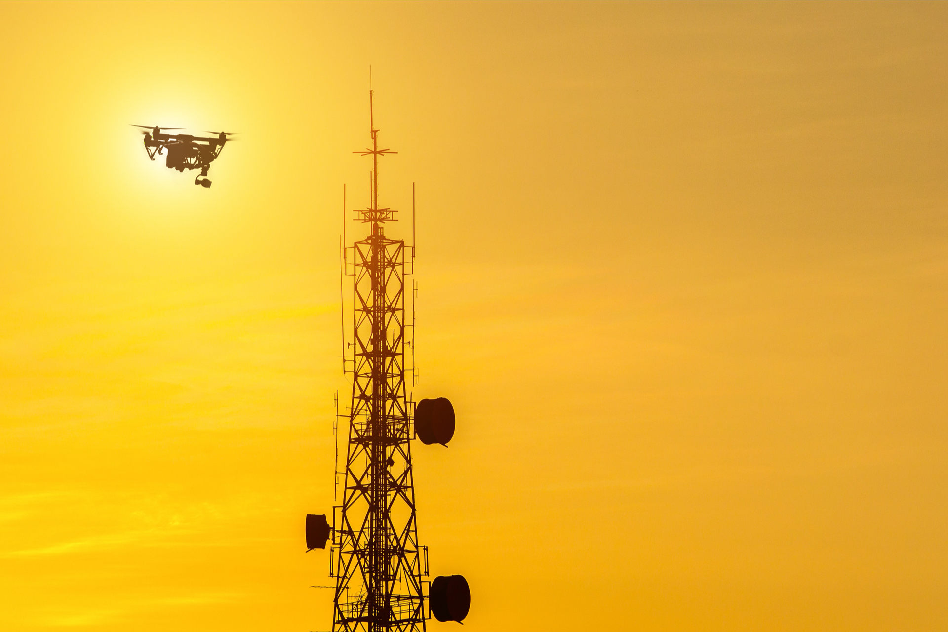
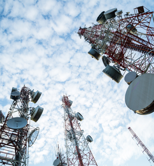
Telecommunication

From now on, Telecommunications Installation Professionals and Network Operators will do more - with less
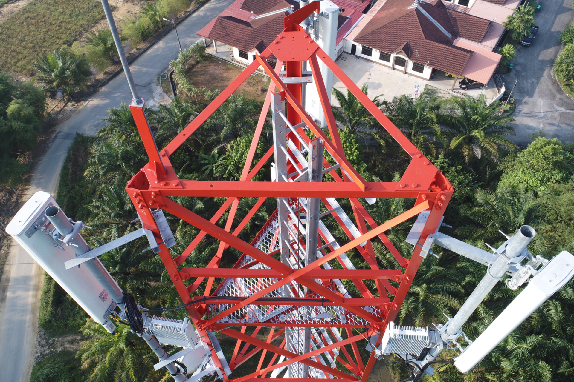
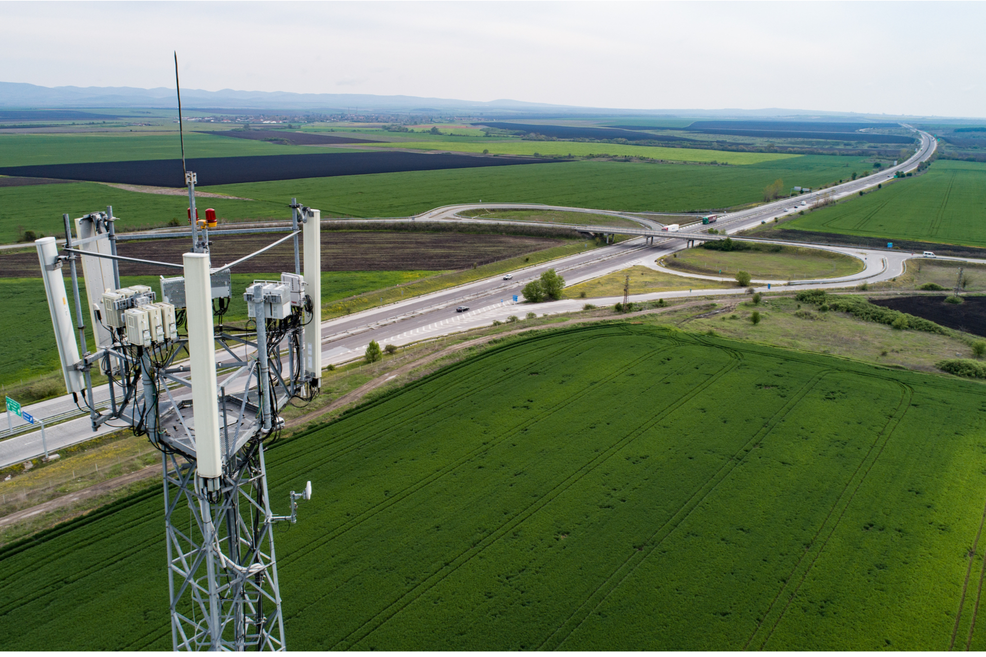
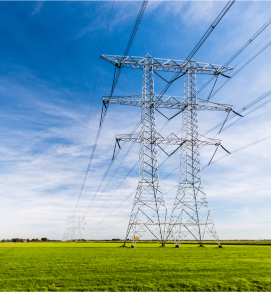
Insfrastructures

Difficult to access, effectively inspect your assets, help keep them running smoothly, minimize cost.
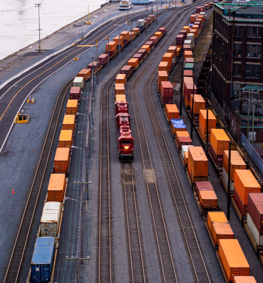
Transport Track

Be efficient in your land, river, sea and air road projects thanks to the high accuracy of our data.
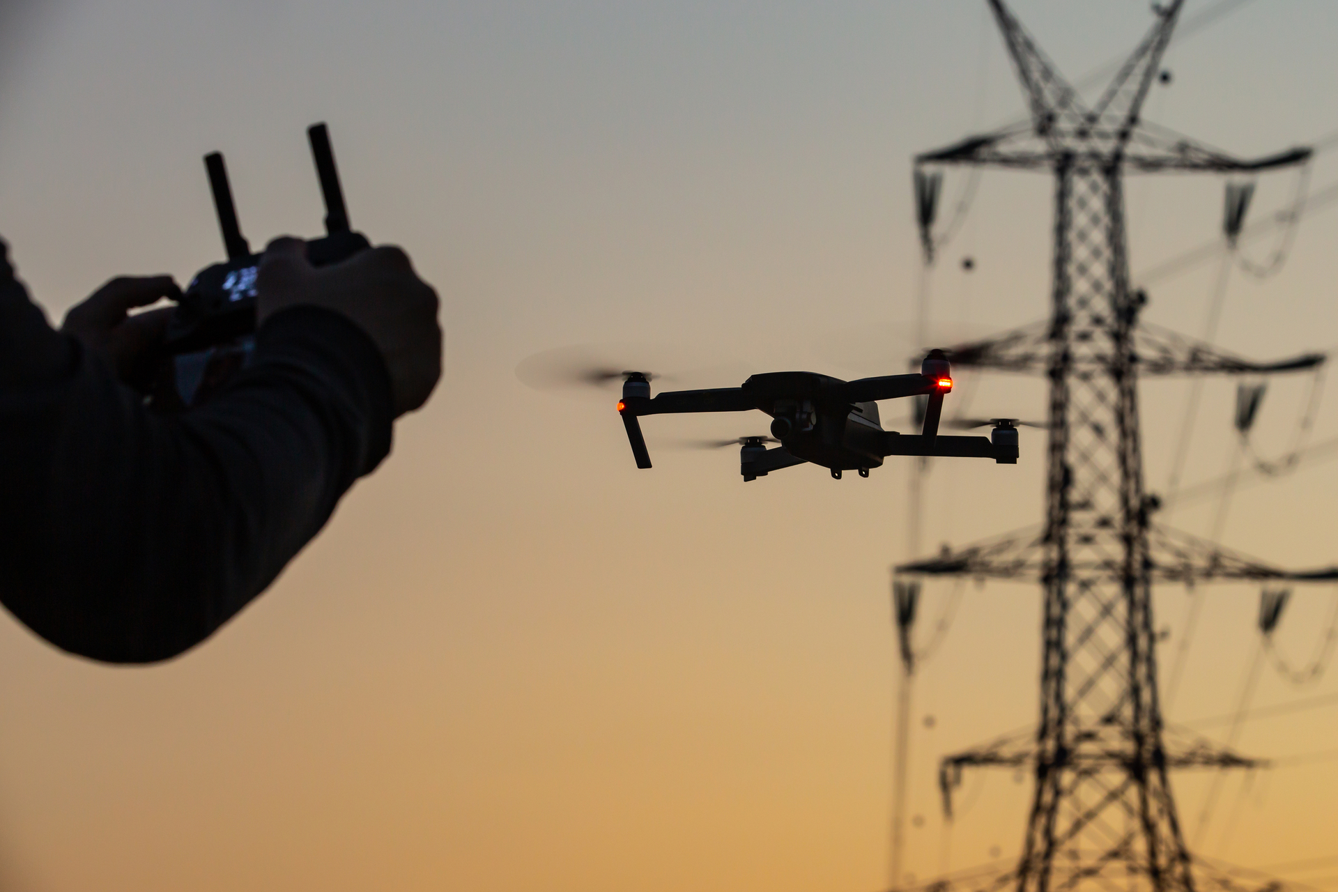
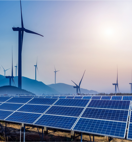
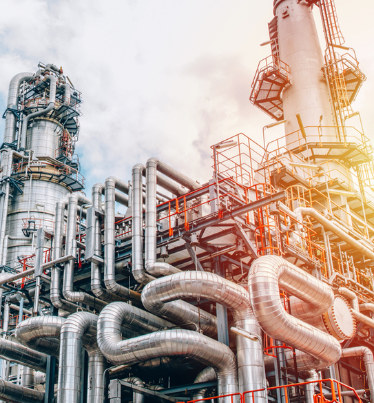
Energy Oil Gas

Rather than setting up cranes and sending crews for a thorough examination, invite the drone.
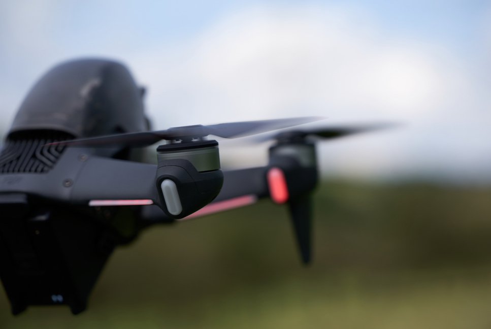
Multimedia

Multimedia specialists, adopt high resolution, take advantage of our reduced costs for quality productions.

Security

Monitor, protect your assets and avoid putting personnel at risk unless absolutely necessary.
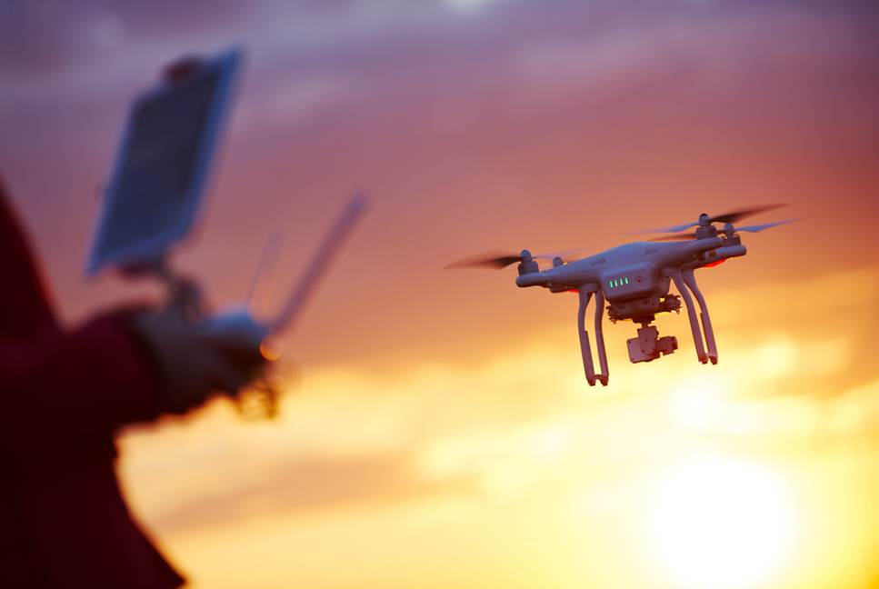
Technical Support

You are a customer, need help, ask for assistance from our technical department


GlobeVISIONS is committed to protecting your assets and respecting your privacy. Your personal information will only be used to administer your account and provide you with the services you have requested.